GIS & Cartography
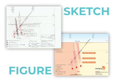
Geographic Information System (GIS) and Cartography is our framework for gathering, managing, and analysing data. Rooted in the science of geography and geology, we integrate many types of data, analyse spatial locations and organise layers of information into gorgeous visualisations using maps and 3D scenes. With our unique capabilities, we can reveal deeper insights into data, such as trends, patterns, relationships, and situations which can assist clients in making smarter decisions.


